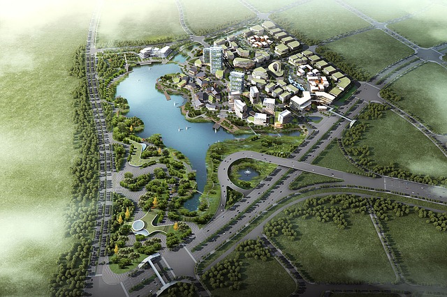
3D Drone Mapping
What is 3D Drone Mapping you may be wondering? Wonder no more friend, read and learn.
First, as well as a capable drone, you will need software to make your 3d maps. Whats the best drone software to use for drone mapping you may ask?
The top 5 main contenders are
They all basically do the same thing, that is 3d mapping but they all offer different features.
Most of these apps can be downloaded as a trial version and if you like it or need extra features you can upgrade to the full version with all the bells and whistles.
My best advice is to download a few of them and compare them yourself to see which one suits your need best.
Drone deploy is one of the most popular and easiest to use.
You have the basic package which is free but limited.
The Pro pack has a lot more features but still, has restrictions.
Business package is the most expensive but gives you unlimited use of all its features.
Better not forget that you will also need a fairly powerful PC or Mac to process the mapping after the drone has captured all the photos if doing the processing locally.
What drone should I use for 3d mapping may be your next question?
You will basically need a drone with GPS, with the best camera you can afford.
There are dedicated drones made for doing 3d mapping but these tend to be expensive and not as versatile as the many consumer drones available to buy.
My recommendation would be a DJI drone. The ones listed below are all very capable but my all round choice would be the Phantom 4.
At the end of the day, the choice is yours. I’m just here to help inform you of your options.
Here is a quick list of industries where 3d drone mapping would be a useful asset.
- Construction companies
- Minning companies
- Forest control officers
- Architects
- Land registry authorities
- Archaeologists
- Computer video gaming industry
Any comments and suggestions to your opinion on the best 3d mapping drone software would be welcomed.
Don’t forget to share with your friends.

